Probably the most difficult thing about planning the Peckerhead Invitational is route selection. The management debates many, many factors -- none of which exist in a vacuum. Difficulty, beauty, humor, irony, rest, history, tradition... all are critical things we consider. A route must be planned with the rider and the end in mind. For the past several years, our desired end has been to have riders return happy, challenged, personally victorious, hungry, and ready to hang out for a while. We stopped trying to kill people years ago. Now, if you do stupid things and end up shattering yourself, well, your folly contributes to other intrinsic Peckerhead characteristics like suffering, ridicule, and humility, which of course are also extremely valuable. But those are on you, friend.
Now back to the matter at hand.
"How do I want the rider to feel at this moment?", the management asks itself when we choose a road. Should you be challenged right here? Should you be resting and recovering? Where is the next water stop? What type of rider will be on this road? It all depends upon who you are, what came before and what road is yet to come. Context.
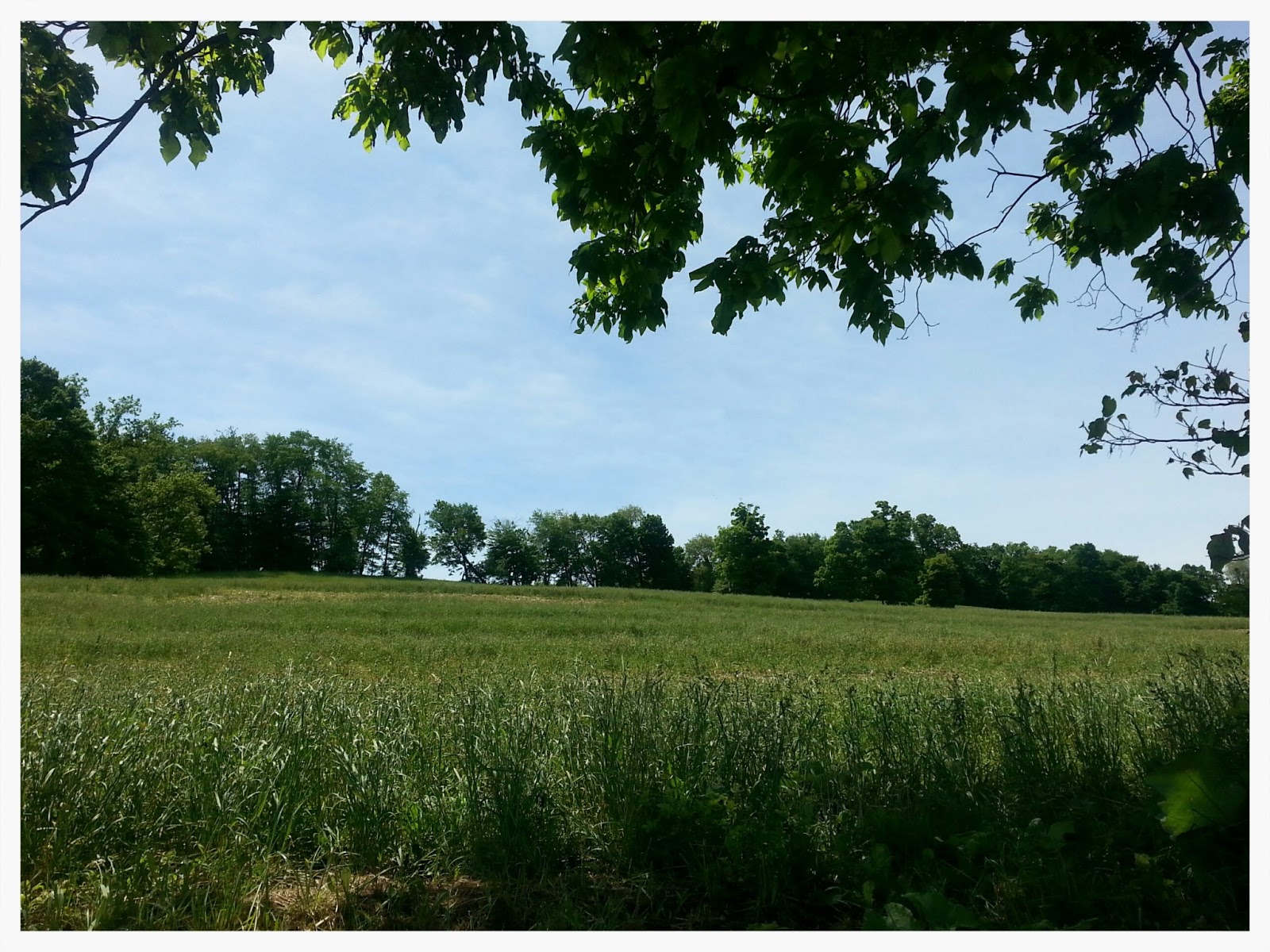
Choosing roads that are scenic and quiet is very important part of the overall context of a Peckerhead. We want people to see the beauty of our area and have a chance to talk to one another. We're hoping to show people roads they normally would never see, or funny stuff that we've found while out riding. Later in the ride, while riders might be suffering, we try to mitigate that pain with beauty and well-placed resting spots. When we do a good jobs, stuff connects up just right. Maps for the PKR.
Here are some quick shots of roads from this year's Peckerhead, and years past. We think they're kinda pretty.